
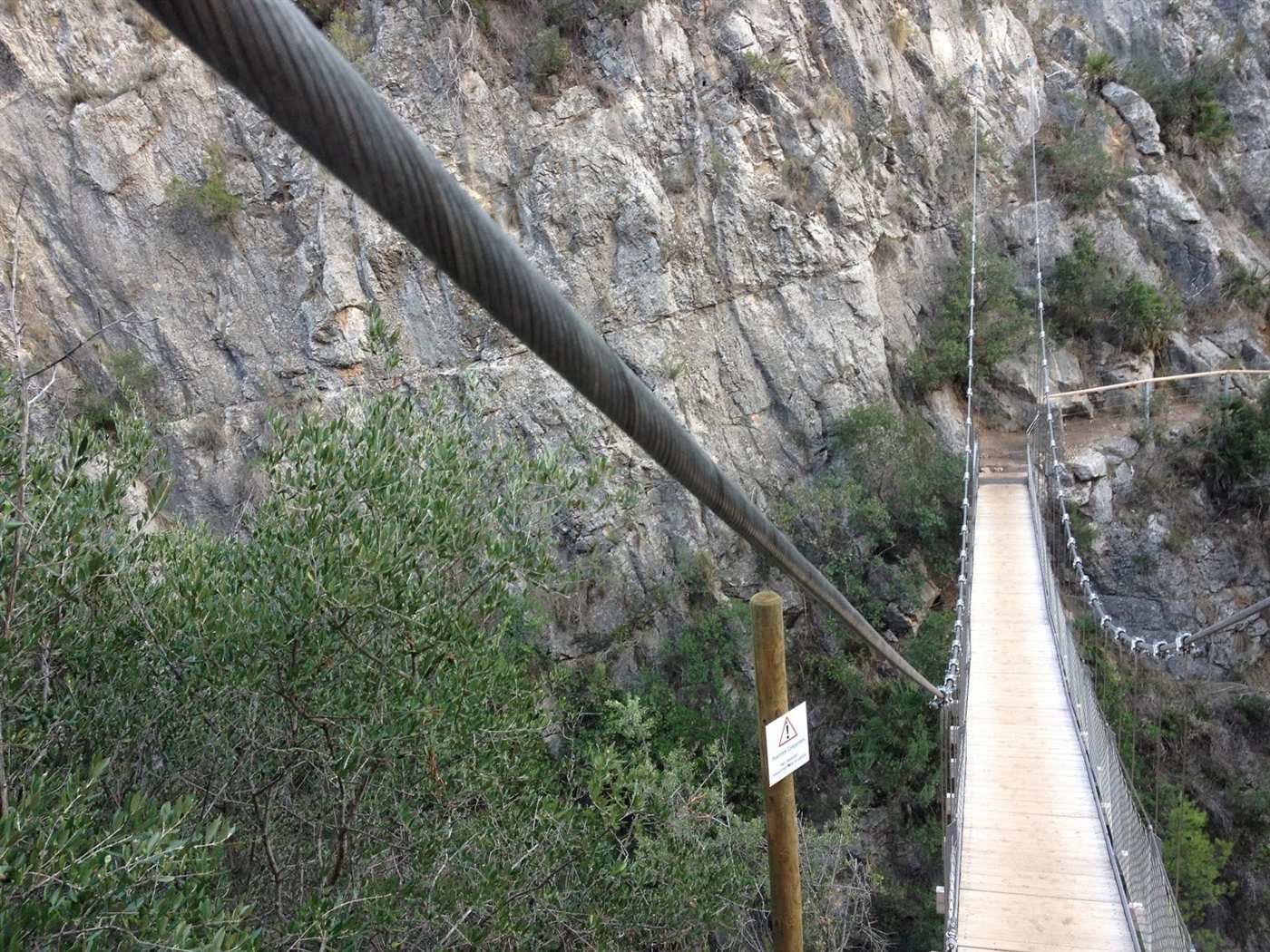
Chulilla is a hilltop village in the Los Serranos comarca, about 45 km and 45 minutes west of Valencia by car. What pulls people out here is not the village itself but the gorge below it: the Turia river has cut a canyon through the red rock, and a walking route called the Ruta de los Pantaneros crosses it twice on suspension bridges, one of them hanging about 15 metres above the water.
The route sits inside the Paraje Natural Municipal de los Calderones, a protected site the town council declared in 2007. The two bridges themselves are more recent: they were built in 2013 as part of the access works for the natural site, so this is not an old rural footbridge, it is a deliberately engineered hiking route.
Most of what gets written about Chulilla online is vague on the practical details that decide whether the trip actually works for you: what it costs, whether you need a car, and where you can and cannot park. Here is what the town hall itself says.
Getting there
The honest version is that this is a car trip for almost everyone. Chulilla is reachable by public transport, but the connection is thin enough that it should not be the centrepiece of your plan.
- By car: around 45 minutes from central Valencia via the A-3 and CV-35, then the CV-394. This is the reliable option and the one most visitors use.
- By bus: a weekday service run by Autocares Hispano Chelvana connects Valencia with Chulilla, but frequency is limited and timetables on routes like this change without much notice. Check the current schedule directly with the operator before relying on it, rather than an aggregator site.
- Parking: there is free public parking on the CV-394 towards Losa del Obispo, right at the start of the route, which the town hall itself signposts as the recommended option. Smaller paid car parks also exist inside the village if that free area is full.
If you are not driving yourself and the bus does not line up, treat this as a trip to pair with a hire car or a car-sharing app rather than a spontaneous day out.
The route and the bridges
The signposted loop, the Ruta de los Pantaneros, runs 5.05 km along the top of the gorge and down into it, tracing the path that workers building the nearby Loriguilla dam used to walk from the village to the dam site in the 1950s. Most visitors doing just the bridge section rather than the full loop are done in around an hour.
- Two suspension bridges cross the gorge; the higher of the two sits roughly 15 metres above the river and runs over 20 metres long.
- The canyon walls themselves rise more than 80 metres in places.
- The path is easy to moderate: well-maintained steps and railings, but not a paved walk, and not suitable for a pram or a wheelchair.
- The natural site covers 538 hectares of riverside forest and Mediterranean scrub around the gorge.
A hilltop castle overlooks the village and the gorge, and is worth the short extra climb for the view alone if you have the time before or after the walk.
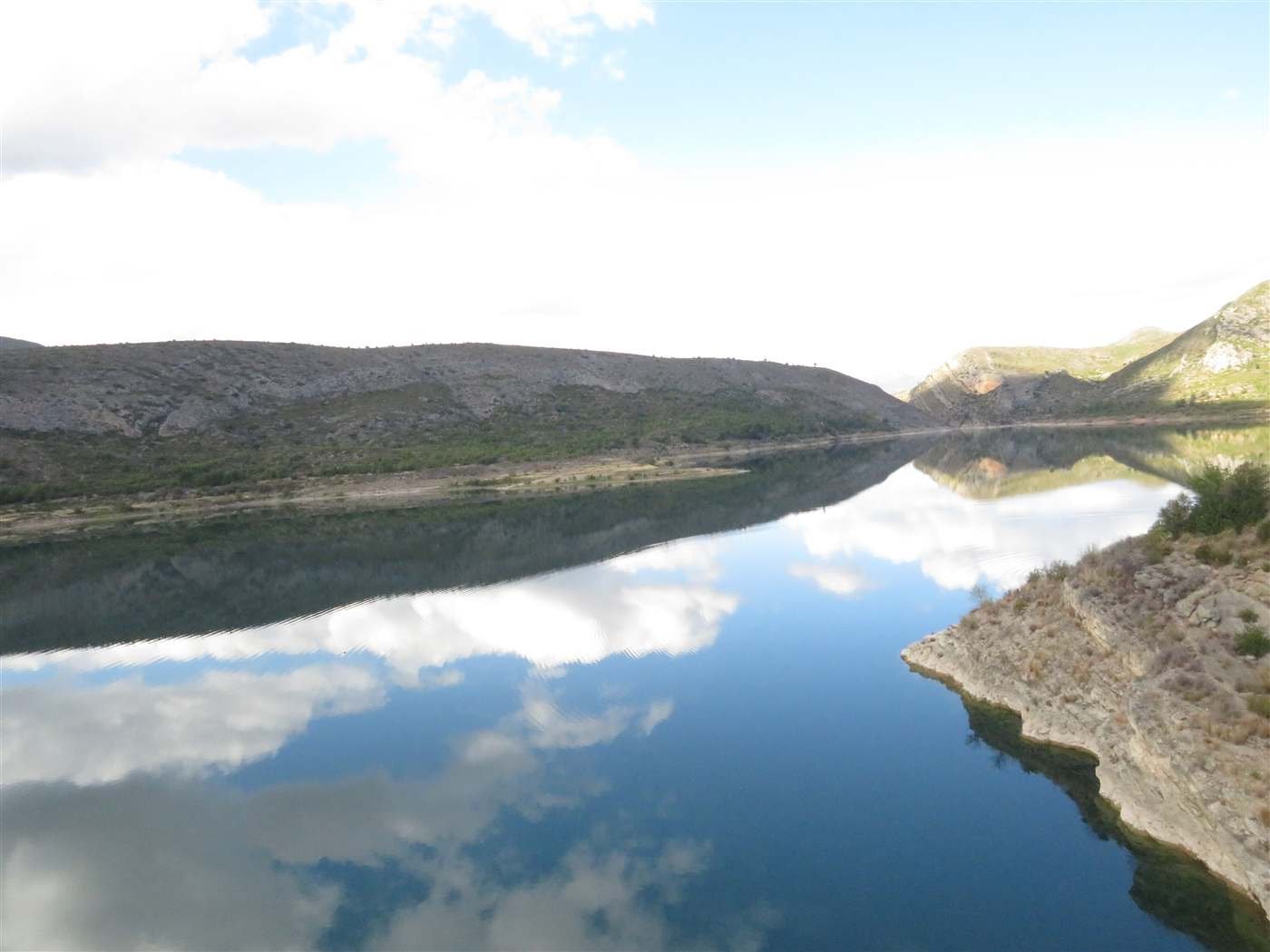
Photo: Marcela Escandell, CC BY-SA 2.0
Entry fee and access
Access to the Paraje Natural de los Calderones is controlled by the town hall and costs 1 EUR per person, which goes towards maintaining the route and its infrastructure. Chulilla residents are exempt.
This is a working piece of municipal infrastructure rather than a free-for-all trail, so a member of staff or a self-service point at the entrance handles payment. If you are planning around a specific day, it is worth calling the tourist office (+34 961 65 79 79) or the town hall (+34 961 65 70 01) to confirm the route is open, since access to natural sites in this region can be adjusted at short notice during high fire risk or after heavy rain.
About swimming in the pools
You will see photos of people swimming in the pools below the bridges, and in the right conditions it does happen. What those photos do not show is that the water here is release-controlled: it comes from the Loriguilla reservoir upstream, and the level and flow can change without warning depending on what the dam operator is doing that day.
We are not going to tell you swimming is guaranteed safe on any given visit, because that depends on conditions we cannot verify for the day you go. Treat the pools as scenery on the way round, and if you do see people swimming, use your own judgement about current and depth rather than assuming the previous group's choice was a safety assessment.
When to go
Spring (March to May) and autumn (late September to November) are the best windows: warm enough to enjoy the walk, cool enough that the exposed sections of the gorge are not punishing. This matches the pattern across the region's other gorge walks, where midday summer heat on south-facing rock is genuinely dangerous rather than just uncomfortable.
Weekends and Spanish public holidays bring the largest crowds, including queues at the narrower sections of bridge, since only a limited number of walkers can be on a bridge at once. A weekday visit, even in high season, is a noticeably quieter experience.
Settling into Valencia's countryside as much as the city?
Day trips like this one are part of why people choose to live near Valencia rather than just visit it. If you are exploring a move, we can talk through what that actually looks like.
Contact us
About the author
Michael Bastin
Founder, ValenciaMove - Valencia since 2016
Michael moved to Valencia in 2016 and has helped dozens of families relocate since. He writes every guide on this site personally and verifies every fact against Spanish government sources before publishing.
Buy Michael a coffeeNeed help with your move?
Contact us. We handle visa, admin, and housing so you can focus on the exciting part.