Skip to content
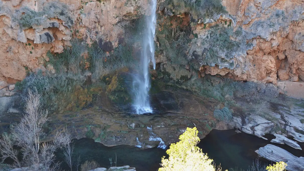
Lone hiker on a clifftop trail above the red-rock Turia gorge near Chulilla at golden hour

Hiking near Valencia

Cliff trails, hanging bridges, mountain pueblos and coastal boardwalks - all reachable in 90 minutes or less from central Valencia.

Why hike from Valencia?

Valencia is a rare Spanish capital where you can swim before breakfast, hike a 1,000 m sierra by lunch and be back for tapas. Three sierras box the city to the north and west - Calderona, Espadan, Penyagolosa - and the Turia, Magro and Júcar rivers have carved gorges with cliff trails, swimming pools and hanging footbridges within an hour's drive. To the south, the Albufera wetland gives you flat boardwalk paths through pine forest and rice fields with no elevation at all - the right call when it's 30 degrees in October.

What follows is a shortlist of trails we send clients to once they're settled. Each one is well-signed, doable without a guide, and chosen because it pairs landscape with a pueblo where you can refuel after - menú del día, a vermouth, a swim. Driving times are from central Valencia in normal traffic. Public transport options are noted where realistic; for most of these you will want a rental car or a friend with one.

One summer-specific thing before you pick a trail: at preemergencia level 3, the Generalitat legally prohibits walking on trails and cross-country in forest land, and it can close the tracks inside named natural parks to walkers and cyclists too. Check the day's level before you drive out. Our guide to wildfires in the Valencia region explains the levels and where to look them up. Prefer water to woods on a given weekend? Our day trips from Valencia guide covers castles, a thermal river spring and an underground river you cross by boat instead.

The hanging-bridges walk at Chulilla gets a table row on its own further down, but if you want the full route, the fee and the access details rather than a one-line summary, our dedicated Chulilla guide has it. For a castle and the Garbí in one loop, our Beselga to Garbí route from Estivella is a 9 km (about 5.6 mi) circuit with a different climb from the Garbí card below.

8 day hikes worth the drive

Chulilla hanging bridges

Turia gorge, Los Serranos
Difficulty
Easy to moderate
Distance
10 km loop
Drive from Valencia
45 min west

Why we like it

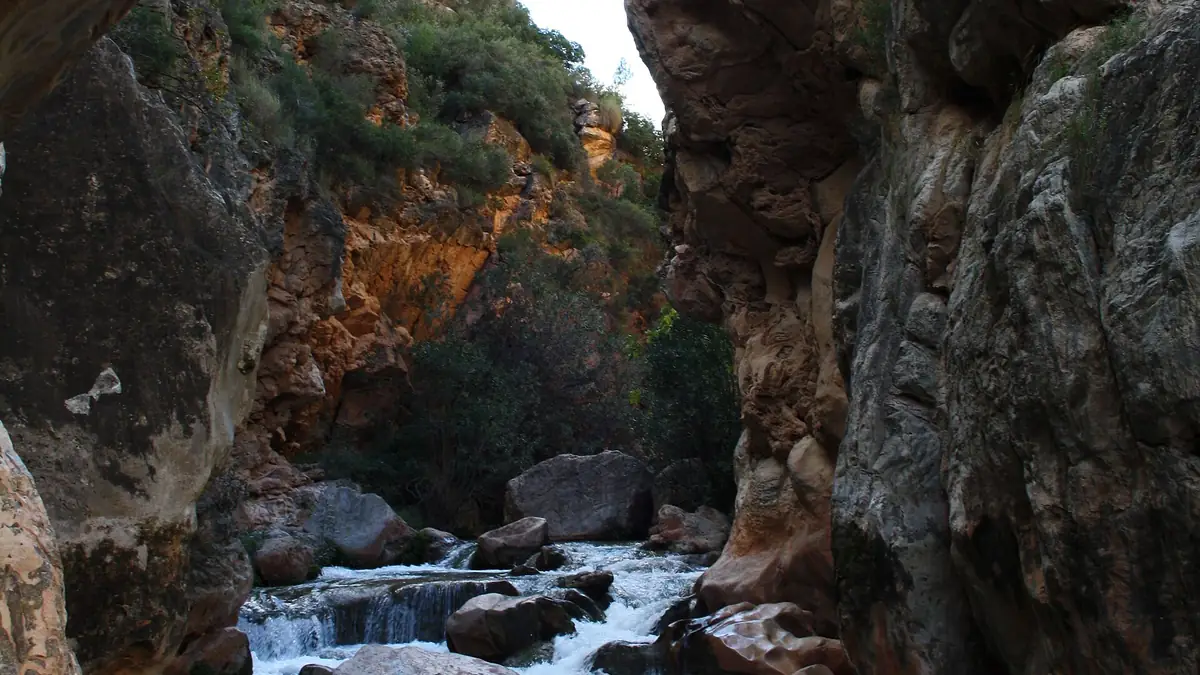
  • Two suspended footbridges over a 200 m red-rock gorge
  • Swimming pools in the Turia in summer
  • Hilltop pueblo with castle ruins for lunch
Read the full trail guide

Sierra Calderona - La Pobla circuit

Sierra Calderona Natural Park
Difficulty
Moderate
Distance
12 km loop
Drive from Valencia
30 min north

Why we like it

  • Pine forest, sandstone ridges and hermitage chapels
  • View over the whole Valencia coastal plain
  • Closest real sierra hike to the city

Barranc de l'Encantada

Planes, near Cocentaina
Difficulty
Easy (good for kids)
Distance
5 km out and back
Drive from Valencia
75 min south

Why we like it

  • Series of jade-green natural pools and small waterfalls
  • Shaded canyon - works even in late spring
  • Pair it with a stop in Cocentaina or Muro

Sierra de Espadan - Eslida cork forest

Espadan Natural Park, Castellon
Difficulty
Moderate
Distance
14 km loop
Drive from Valencia
60 min north

Why we like it

  • One of Europe's largest cork-oak forests
  • Quiet trail, almost zero crowds even on weekends
  • Eslida pueblo for honey, sausage and a long lunch

Albufera - Devesa pine boardwalks

Albufera Natural Park
Difficulty
Flat, accessible
Distance
6 km, choose your length
Drive from Valencia
20 min south (bus 25 also works)

Why we like it

  • Pine-shaded boardwalks between dunes and the lagoon
  • Sunset over the Albufera with flamingos in winter
  • Rice-field paella in El Palmar after

Penyagolosa - Banyadors ridge

Penyagolosa Natural Park, Castellon
Difficulty
Hard (1,000 m gain)
Distance
16 km loop
Drive from Valencia
2 h north

Why we like it

  • The 1,815 m regional summit, often above the cloud line
  • Sant Joan de Penyagolosa pilgrim hermitage halfway
  • Big mountain feel within Valencia day-trip range

Garbi peak - Sagunto views

Sierra Calderona, north flank
Difficulty
Moderate
Distance
8 km out and back
Drive from Valencia
30 min north

Why we like it

  • Roman-trail ascent to a rock-balcony summit
  • Sagunto, the Mediterranean and the city all in one view
  • Short enough for a half day

Las Fuentes del Algar

Callosa d'En Sarria, Alicante
Difficulty
Easy
Distance
3 km wooden walkway
Drive from Valencia
90 min south

Why we like it

  • Turquoise pools and waterfalls in a managed nature park
  • Pair with Guadalest hilltop fortress 20 min away
  • Modest entrance fee, swimming allowed in summer

Autumn hikes near Valencia: six routes with fall color

The hills around Valencia are mostly holm oak and pine, which stay green all year. The fall color is along the rivers and in shaded gorges, where poplars, ash, maples and willows turn yellow and orange from late October through November.

These six routes follow those corridors, all within about two hours' drive. Drive times and distances are approximate and the color shifts from year to year, so check the trail status before you set out.

Font Roja and El Menejador

Difficulty
Moderate
Distance
About 7 km loop
Drive from Valencia
About 1 h 20 min
Starting point
Free car park at the Santuari de la Font Roja, at the end of the CV-797, about 11 km from Alcoy

Where the color is: Maples, ash and gall oaks mixed into the holm oak forest on the shaded north slope, on the climb rather than the bare summit.

The marked path climbs from the sanctuary through mixed forest to El Menejador, at 1,356 m the park's highest summit. It is the most wooded route on this list and the best pick if the color is the whole point of the day.

Racó de Sant Bonaventura and Els Canalons

Polop river, Alcoy
Difficulty
Easy to moderate
Distance
6 km there and back, or a 9 km loop
Drive from Valencia
About 1 h 20 min
Starting point
Start of the Vía Verde de Alcoy in the Batoi district (park on Carrer Montdúber)

Where the color is: Poplars and other riverside trees along the Polop, around the pools of the Racó.

The short version follows the Polop river to a set of pools and small waterfalls. The longer loop continues into Els Canalons, a narrow limestone gorge with a few rocky steps where fixed chains serve as handrails, so it is not the one for young children.

Salto de la Novia, Navajas

Difficulty
Easy
Distance
Short riverside walk from the village
Drive from Valencia
About 50 min
Starting point
Plaza del Matadero car park in Navajas, then about 10 minutes on foot down Calle Bajada de las Fuentes

Where the color is: Poplars, willows and plane trees lining the Palancia river.

The shortest drive on this list. Paths from the village lead down to the Palancia and the Salto de la Novia, a waterfall falling into a pool below a rust-colored rock wall. It suits families and first-time hikers, and you can stretch the walk along the river as far as you like.

Ruta del Agua, Chelva

Difficulty
Easy, family-friendly
Distance
Circular route, 2 h 30 min to 3 h
Drive from Valencia
About 1 h 10 min
Starting point
Plaza Mayor in Chelva, or the Molino Puerto car park (paid on weekends and holidays)

Where the color is: Poplars and willows on the river stretch between the Molino Puerto area and La Playeta.

The loop leaves Chelva along the river, past the Molino Puerto picnic area and through the Olinches tunnel, cut through the rock, where a torch helps. La Playeta, a natural pool with small cascades between rock walls, is the obvious stop. Dogs are allowed on the route except at La Playeta.

Río Bohílgues, Ademuz

Difficulty
Easy
Distance
4 km easy walk (about 2 h), or further upstream toward Vallanca
Drive from Valencia
About 2 h
Starting point
Molino de la Villa, the Ademuz tourist office, with a free car park next to it

Where the color is: Poplars along the wooded river gorge, thickest beyond the first bridges.

The walk starts at the Molino de la Villa, the old mill that houses the Ademuz tourist office, and follows the river upstream past bridges, mills and pools. It is the longest drive on this list, but also the route most likely to give you a full wall of yellow along the water.

Estrechos del Ebrón

Difficulty
Moderate
Distance
10.3 km one way (linear), 300 m of climbing
Drive from Valencia
About 2 h
Starting point
Hikers' car park on a paved track about 1 km past El Cuervo (GPS 40.16023, -1.33411)

Where the color is: Poplars and willows inside the narrow gorge, not on the open slopes above it.

The official route follows the river bed from El Cuervo to Tormón on walkways and rope-assisted sections, past the Fonseca natural bridge, an old flour mill and the Calicanto waterfall. Because it is linear, most people turn back partway.

Avoid it after heavy rain or when the river is high. The tourism office does not recommend it for small children who are not used to equipped trails.

Three checks before an autumn hike near Valencia

River levels after rain

Most of these routes follow a river through a gorge, and water rises fast in a narrow channel. Check the forecast and skip a gorge route the day after a storm.

Wet leaves on rock

Fallen leaves over wet rock and wooden walkways get slippery quickly in autumn. Shoes with a good grip matter more now than in summer.

Short November days

The sun sets early by November. Start early enough to be back at the car with daylight to spare, especially on the two-hour drives to Ademuz and the Ebrón.

Practical realities

Avoid 14:00-18:00 in summer

From late June to early September, midday hiking on south-facing trails is genuinely dangerous - the sierras hit 38 degrees and shade is patchy. Start at sunrise or hike after 18:00. Albufera boardwalks and shaded gorges (Chulilla, l'Encantada, Algar) are the safer summer picks.

Carry water - fountains are rare

Most pueblos have a public fountain you can refill at, but trails between pueblos do not. Two litres per person for a half-day, three for a full day. Electrolyte tablets if you sweat hard - a kilo of salt loss in summer is normal.

Pueblos close 14:00-17:00

Time the post-hike menú del día for arrival before 14:30, or you will eat a bocadillo in the car. Bars often reopen at 19:00 or 20:00 for the night service.

Most trailheads need a car

Albufera, Devesa, Sierra Calderona's southern entrances and Sagunto are all reachable by metro or bus. Penyagolosa, Espadan, Chulilla and the Alicante province trails are not. Renting for the weekend (~40-60 EUR/day off-season) is the realistic plan.

Know the signposting

Yellow-and-white markings = local trails (PR). Red-and-white = long-distance GR routes. Painted X means you're going the wrong way. Most marked trails do not have written names on the ground - download a track on Wikiloc or AllTrails before you go.

Best month is October

Heat has broken, sea is still warm, light is the cleanest of the year, and pueblos are alive with local festivals. April and May are second best. Avoid August unless you're willing to start at 06:30.

Pueblos to pair with these trails

Most of these hikes finish in or near a small Comunidad Valenciana pueblo. We have a separate guide to the ones worth lingering in - cliff houses, walled towns, street-art villages and gorge-side bars.

Read the pueblos guide

Looking for the rest of life outside the city?

Towns with metro access, schools and chalets in commuter range of central Valencia.

Best towns near Valencia

Explore ValenciaMove guides

Continue through the relocation topics most readers need next, from visas and housing to schools, healthcare, safety, and local life.

Ready to make Valencia your home?

Get in touch and let's map out your move together - visa, housing, schools and everything in between.