Dénia, Spain: a guide to the castle, beaches and Montgó
Dénia is the port town of the Marina Alta, in the north of the Costa Blanca, with a castle on a hill in the middle of town. This guide covers the castle and old quarters, the beaches, the Montgó, getting there and who lives there.
Dénia quick facts
- Residents, 1 January 2025
- 47,568, of whom 13,844 (29.1%) hold a foreign nationality (INE annual census)
- Coast and beaches
- 19 km (about 12 mi) of coast and 13 beaches, six with a Blue Flag in 2024 (Diputación de Alicante)
- Ferries
- To Ibiza and Formentera, all year, from the north pier
- Climate data
- No AEMET standard station in the town; see the Alicante weather guide
Facts last checked against their sources: 15 November 2026
Where Dénia is, and how to get there from Valencia and the airports
Dénia sits in the north of Alicante province, on the coast of the Marina Alta, with the Montgó massif to the south and Jávea on its far side. The tourist board puts Valencia 113 km (about 70 mi) away, about an hour and a quarter by car on the AP-7, with ALSA buses to Valencia and Alicante.
By rail, line 9 of the TRAM d'Alacant runs the 17 stations between Dénia and Benidorm. The closest airports are Alicante-Elche at 100 km (about 62 mi) and Valencia at 113 km (about 70 mi), and ferries from the north pier sail to Ibiza and Formentera all year.
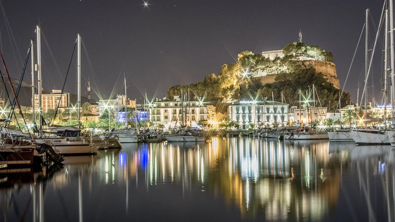
Dénia castle, Baix la Mar and Les Roques
The castle and walls date back to the Islamic period and stand on a small hill in the heart of town. The castle houses the Archaeological Museum.
Below it, Les Roques is the old quarter that grew in the walled Raval of the Arab town, and Baix la Mar is the fishing district by the port, with its low painted houses. The regional tourist board also points to the Agustinas convent, the church of Nuestra Señora de la Asunción and the toy museum.
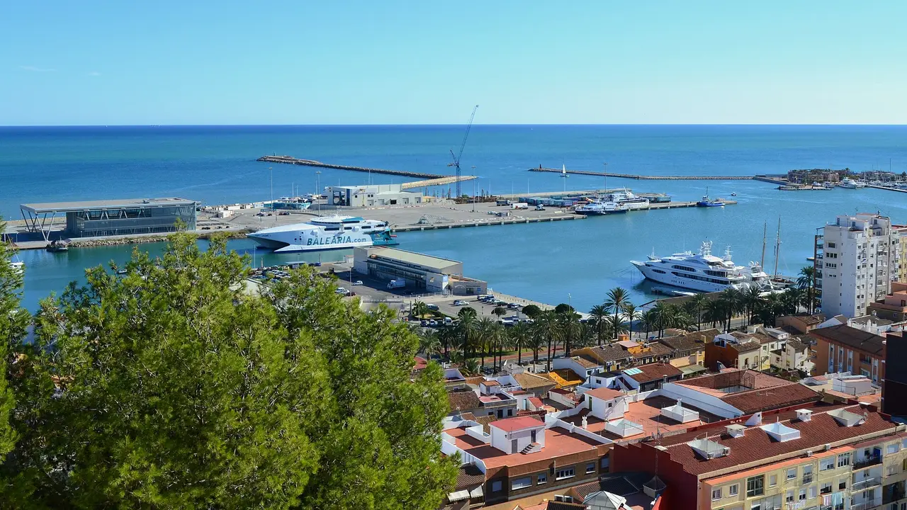
Photo: Joanbanjo, CC BY-SA 3.0
Dénia, a UNESCO Creative City of Gastronomy
UNESCO named Dénia a Creative City of Gastronomy in 2015. The regional tourist board lists the dishes to look for: arròs a banda, l'espencat, dried octopus, red prawns (gamba roja) and suquet de peix fish stew.
Dénia beaches: sandy Les Marines and the rocky coves of Les Rotes
The Diputación de Alicante counts 13 beaches along Dénia's 19 km (about 12 mi) of coast, six with a Blue Flag in 2024. Les Marines runs for more than 3 km (about 1.9 mi) of wide sand, starting about 300 m (about 984 ft) from the centre.
To the south, Les Rotes covers 1.4 km (about 0.9 mi) of rocky coves. Its waters belong to the Cabo de San Antonio marine reserve, so check the reserve's rules before you snorkel or fish.
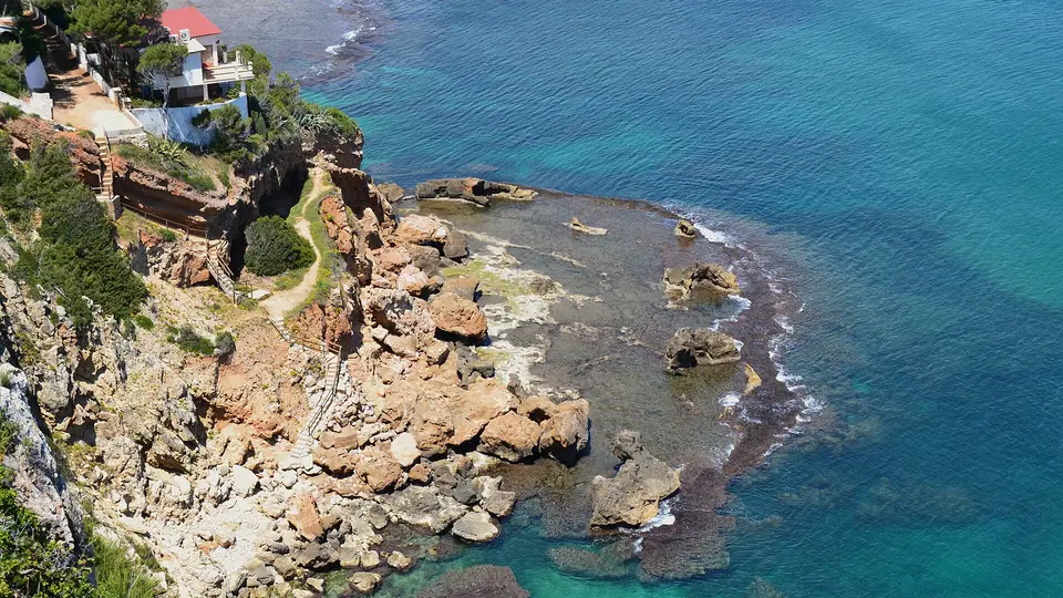
Photo: Joanbanjo, CC BY-SA 3.0
The Montgó Natural Park and the Dénia greenway
The regional tourist board points walkers to two routes: the trail up the Montgó Natural Park, the mountain above town, and the Dénia greenway.
Who lives in Dénia: residents and foreign nationals
INE counted 13,844 residents of foreign nationality out of 47,568 in Dénia on 1 January 2025, or 29.1%. The figure counts nationality, not country of birth, so a naturalised resident counts as Spanish.
We publish no rent or property price for Dénia. Our Valencia-city rent data does not apply here, and we have not found an official price series for the town.
Dénia weather: where to find official averages
AEMET's standard climate tables for Alicante province cover two stations only, Alicante city and Alicante-Elche airport, so there are no official month-by-month averages for Dénia itself. The Alicante weather guide gives AEMET's figures for both stations, with the station and the years stated.