
In an emergency, call 112
 In an emergency, call 112
112 is the single emergency number in the Comunitat Valenciana and across Spain. If there is a fire near you, call it, then follow the instructions of the emergency services and the official Generalitat channels. Nothing on this page is live information and nothing here replaces an instruction from the authorities.
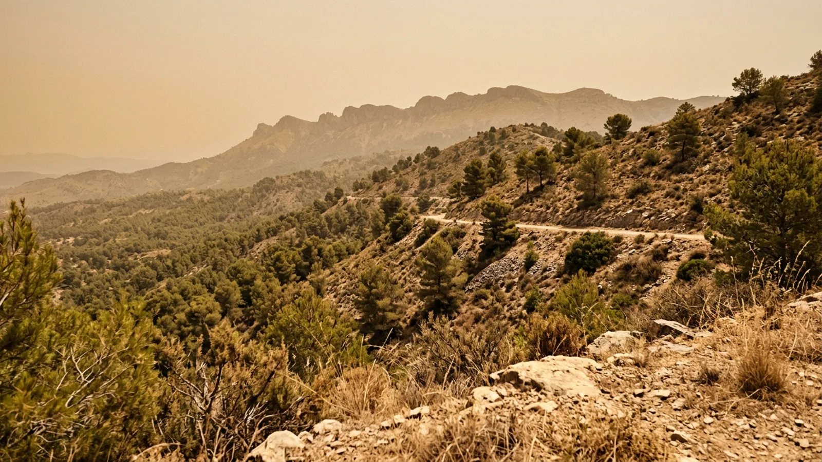
If you have moved to Valencia from northern Europe, the Americas, or anywhere else with wet summers, wildfire season is probably the least familiar thing about your new home. It is worth being direct about it: this is not an anomaly, and it is not a sign that something has gone wrong. Forest fire is a normal, recurring feature of a Mediterranean climate, and the region has an entire legal machinery built around it.
This article does two things. It explains that machinery, meaning the preemergencia levels, what each one prohibits, and how to check today's, so you can read a news bulletin or a trailhead sign correctly. And it puts the current headlines back into the context of a long official record, so a fire in the news reads as an instance of something rather than as the end of the world.
We are not an emergency service, and this page does not try to be one. Everything below is a summary of what the Generalitat, 112CV, AEMET and the Spanish environment ministry themselves publish, with every source listed at the end.
July 2026: the La Vall d'Uixo fire and a month of maximum alerts
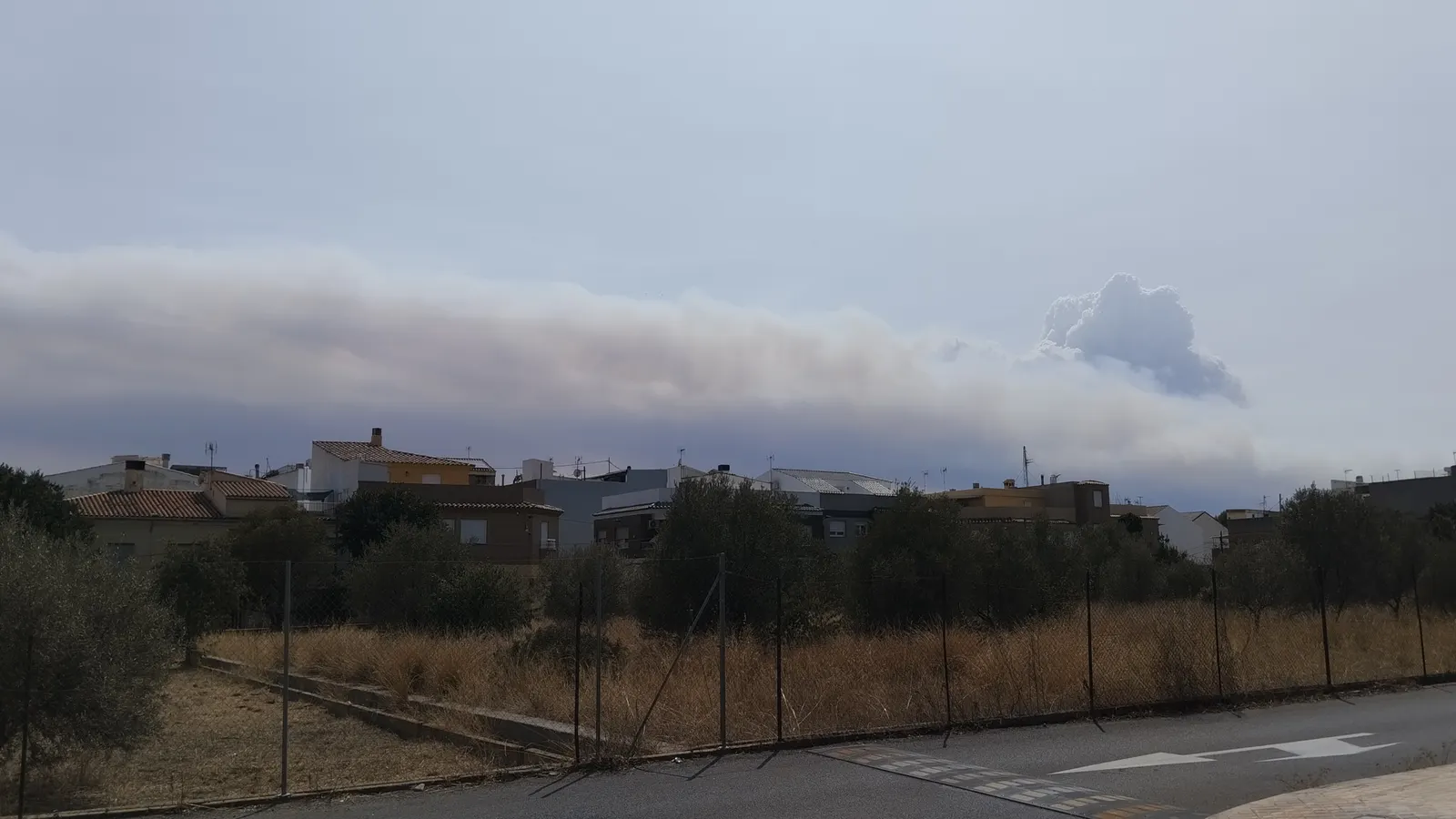
On 25 July 2026 a large forest fire broke out in the municipality of La Vall d'Uixo, in Castellon province. The most precise public record of how serious it became is not a news report but a legal instrument: ORDEN 2/2026 of the Conselleria de Emergencias e Interior, published in the Diari Oficial de la Generalitat Valenciana on 26 July.
That order kept La Vall d'Uixo, Betxi and Onda confined indoors, and kept a long list of places evacuated: la Vila Vella, Artana, Eslida, Ain, Alcudia de Veo, Tales, the hamlet of Artesa de Onda, Alfondeguilla, Fuentes de Ayodar, Ayodar, Torralba, Sueras, Villamalur, Chovar, Azuebar and Almedijar, plus the Toledo, Carbonaire, Sant Antoni and Sant Josep neighbourhoods of La Vall d'Uixo and the Montserrat and Solaig urbanizations in Betxi.
At the CECOPI coordination meeting on 26 July, the regional emergencies minister reported a perimeter of roughly 48 kilometres and an estimated 6,500 hectares burned, while stressing that the exact figure is only known once a fire is completely extinguished. More than 400 personnel and 25 aircraft worked the fire that day. Around 16,000 people had been evacuated from 18 municipalities and urbanizations over that weekend, and 19 people had been treated for smoke inhalation at the Hospital de La Plana.
The response was a joint one, which is worth noticing because it is how these things are always handled here: Bomberos Forestales de la Generalitat, the Castellon provincial fire consortium, the Castellon city brigade, the Unidad Militar de Emergencias, the Policia de la Generalitat, and crews lent by the governments of Aragon and the Balearic Islands. Residents were warned by Es-Alert messages pushed to phones in the affected area.
Now set that against the rest of the month, because this is the actual point. The Generalitat had already declared preemergencia level 3, the maximum, across the entire Comunitat Valenciana from 6 to 9 July, and again on 15 and 16 July. Both declarations cited significantly elevated temperatures combined with the possibility of dry storms inland. The fire was the event. The conditions were the season.
Why this recurs here: the Mediterranean fire regime
Fire is not an intruder in this landscape. Aleppo pine, kermes oak and rosemary scrub evolved alongside it, and a long dry summer is what the vegetation is built for. What has changed over the last few generations is not the existence of fire but the quantity and continuity of the fuel, and the number of houses now sitting inside it.
The mechanics are consistent enough to be predictable. A rainless summer cures the vegetation until it will carry fire. Temperatures climb, relative humidity collapses, and then the poniente arrives: a hot, dry westerly that funnels down the valleys running inland to the coast. The Generalitat's own post-fire analysis of Cortes de Pallas describes a valley about 12 kilometres long in total alignment with the poniente wind, with gusts above 50 km/h at the moment the fire started, and it is blunt about the result.
The other half is ignition, and here the region is genuinely unusual. Dry storms form over the interior, producing lightning without meaningful rain, typically in the last hours of the afternoon and the first hours of the night, and above all in summer. The Generalitat's causes study describes exactly this pattern of vertically developed cumulonimbus over the interior of the Comunitat.
The last piece is that the built and farmed edge is inside the fuel rather than beside it. The same Cortes de Pallas report tracks the fire moving repeatedly through wildland-urban interface and through an agricultural-forest mosaic as it advanced. That is why so much Valencian fire law is written about a 500 metre band around forest land rather than about forests alone, and it is the single most useful thing to understand if you are house-hunting outside the city. Our Valencia climate guide covers the underlying weather pattern in more detail.
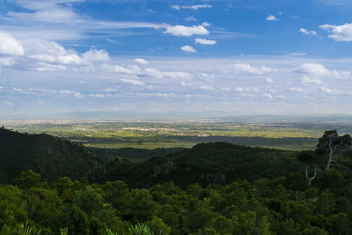
Photo: Sergionc87, CC BY-SA 4.0
What the long record actually shows
The Generalitat's own analysis of fire causes in the Comunitat Valenciana, covering 2009 to October 2018, counted 3,861 forest fires affecting 88,285.82 hectares. That works out at an average of 386 fires a year and 22.8 hectares per fire. A separate Generalitat emergency-management briefing puts the headline figure higher, at more than 500 forest fires a year, of which around 1 per cent become large fires with real civil-protection consequences. The two counts use different thresholds, so read them as a range rather than a contradiction.
The distribution is extremely lopsided, and this is the number that reframes everything. Within that ten-year window, 2012 alone accounted for 58,994.16 hectares, or 66.8 per cent of everything that burned across the decade. Most years are quiet. The years that are not are catastrophic. Planning for the average is how people get caught out.
On causes, the same study found that 37 per cent of fires were deliberate and 32 per cent were negligence or accident, so roughly 69 per cent came down to human activity in some form. Lightning caused 25 per cent, which is high by Spanish standards, and the provincial split is striking: 9 per cent of fires in Alicante, but 52 per cent in Castellon, where one fire in two starts with a lightning strike.
By province over that period, Valencia had the most fires, 1,858 of the 3,861, and by far the most burned area at 62,685 hectares, or 71 per cent of the total. Castellon accounted for 17,370 hectares and Alicante for 8,231. The overall trend in the number of fires was downward, with one exception: Castellon, the only province where the count was rising.
2012: the summer the region still measures itself against
Two fires at the end of June 2012 remain the reference point, and locals will bring them up unprompted. The Cortes de Pallas fire started at 16:00 on 28 June 2012 and was not brought under control until 20:00 on 5 July. According to the Generalitat's post-fire report it covered 29,752.02 hectares in total, of which 27,939.68 were forest.
The Andilla fire, which ran in the same window, affected 20,784.38 hectares across eight municipal areas spanning both Valencia and Castellon provinces: Andilla, Alcublas and Llíria, then Altura, Jérica, Teresa and Bejís. Three-quarters of the burned area was wooded. Across that whole summer, the Comunitat Valenciana recorded 481 forest fires.
Nationally, the environment ministry's 2012 balance records Cortes de Pallas and Andilla as the two largest fires anywhere in Spain that year, together accounting for almost 22 per cent of all forest area burned in the country. They coincided with the first heatwave of the year, between 24 and 29 June.
The cost was not only measured in hectares, and it is worth saying so plainly. The same ministry report lists a pilot killed on 2 July 2012 during the Cortes de Pallas operation, and an entrapment at Torremanzanas in Alicante on 12 August that year in which two people died and four were injured. Fires here are usually reported as areas. They are also, sometimes, funerals.
The preemergencia system, explained
This is the most useful part of the page and the one worth bookmarking. The framework is the Plan Especial frente al Riesgo de Incendios Forestales, established by Decreto 163/1998. Its day-to-day expression is a daily risk bulletin issued by AEMET, the state meteorological agency, through its Valencia territorial centre.
During the summer season that bulletin gives a level for each of the seven zones into which the Comunitat is divided. Outside the summer season the levels are issued by province instead. The Generalitat then declares the preemergencia level, and there are three of them, known as PREVIFOC levels.
Nivel 1Peligrosidad baja-media
Low to medium danger. This is the only level at which an authorised burn of agricultural residue or crop margins may be carried out at all, and even then only inside the permitted calendar and finished by 13:30.
Nivel 2Peligrosidad alta
High danger. Burning crop margins or agricultural vegetation residue is prohibited outright, even if you hold a valid authorisation or have filed a declaracion responsable.
Nivel 3Peligrosidad extrema
Extreme danger. A fixed set of prohibitions comes into force across forest land and the 500 metre forest influence zone. These are legal obligations, not recommendations.
What level 3 actually prohibits
This is the level that closes the countryside, and it is worth knowing by heart if you spend time outdoors in summer. The list below is taken from the joint resolution of the Agencia Valenciana de Seguridad y Respuesta a las Emergencias and the Secretaria Autonomica de Medio Ambiente y Territorio that declared level 3 across the whole Comunitat on 15 and 16 July 2026. The same five obligations appear in every level 3 declaration, because they come from article 139 of Decreto 91/2023, the regulation of the Valencian forest law.
- Transit of people on trails and cross-country in forest land is prohibited.
- Works and jobs on forest land, or in its immediate surroundings, are suspended.
- Festive and recreational use of fire is suspended in forest land and in the forest influence zone, meaning up to 500 metres from it.
- Lighting any kind of fire in forest land or in that 500 metre forest influence zone is prohibited outright.
- Any authorisation granted for sporting vehicle circulation across forest land is suspended.
Individual declarations can add more on top. The July 2026 resolutions also closed forest tracks and paths to all vehicles, bicycles and pedestrians inside a named list of natural parks, including Serra d'Espada, Serra Calderona, Chera-Sot de Chera, Puebla de San Miguel, Turia, Hoces del Cabriel, Marjal Pego-Oliva, Serra de Mariola, Font Roja, El Montgo, Penyal d'Ifac, Serra Gelada and the forest zone of l'Albufera. Traffic for management, supply, maintenance, surveillance and access to homes, farms and service installations inside the park is excepted.
Those same resolutions banned any sporting event crossing forest land and suspended the ones already authorised, and stopped recreational areas, campsites and hostels located on forest land from running sporting or recreational activities outside their own premises. If you have booked something in a natural park in July or August, this is the mechanism that can cancel it at two days' notice.
What this means if you live here
Check the level before you go anywhere near the countryside in summer. The Generalitat publishes it at 112cv.gva.es, and the bulletin behind it comes from AEMET. On a level 3 day, a walk that is perfectly legal in April is an offence, and the trailhead may well be signed as closed.
If your weekend plan involves a natural park, assume a level 3 declaration can close the tracks entirely, on foot as much as by car or bike. This is not a suggestion to stay home. It is a legal restriction with a defined footprint, published in advance, and it is one of the things our guide to hiking near Valencia cannot tell you in advance because it changes daily.
Fire outdoors is the strictest part of all. In forest land and within 500 metres of it, you may only cook with fire in the habilitated and authorised spots, the paelleros. On a level 3 day, no fire of any kind is permitted there at all. Rockets, firecrackers and anything else carrying flame are out too, which is worth remembering in a region with this festival calendar. 112CV also asks people not to throw away matches or cigarette ends and not to dump rubbish in forest areas, for reasons that need no explanation.
Garden waste, farm burns and barbecues
The rule that catches out new arrivals with a house and a plot is the simplest one: 112CV states directly that burning garden waste is not permitted. If you have a pile of prunings, it goes to the municipal green-waste point, not onto a bonfire at the end of the garden.
Agricultural residue and crop margins in the forest influence zone are a separate, tightly regulated case, and the calendar is explicit. A declaracion responsable covers you only between 16 October and 31 May. Between 1 June and 15 October you need an express authorisation carrying specific conditions. Separately, 112CV notes a general prohibition on burning agricultural or forestry residue from 1 July to 30 September, which can be extended depending on the year's risk.
The conditions attached are worth reading before you assume a permit means go ahead. The burn must take place inside the plot, at the point furthest from nearby forest vegetation. Burning crop margins within 50 metres of forest land is prohibited at any time of year. Burns may only be carried out at preemergencia level 1, so never at level 2 or 3. They must be finished and out by 13:30.
They are void on days with strong wind, and if wind gets up once you have started you are required to stop and extinguish immediately. You must stay on site until the fire is completely out and two hours have passed with no embers visible. And there is a fixed annual closure with no burning at all, running from Maundy Thursday through the eleven calendar days that follow.
If your house is on the forest edge
The wildland-urban interface is where the property losses and most of the danger to people come from, and the Generalitat publishes a specific set of self-protection measures for urbanizations sitting in or against forest land. They are worth checking against your own comunidad, because in practice many of them are nobody's job right up until they are urgently everybody's.
The headline requirement is a strip 25 metres wide between the built area and the forest, permanently free of low and shrub vegetation, with any remaining trees heavily thinned and pruned to two thirds of their total height, plus a perimeter track 5 metres wide. Access roads and their verges must be kept clear of vegetation and carry a 10 metre protection strip on each side, pruned to the same standard.
The rest is unglamorous and mostly cheap. A signposted perimeter hydrant network with guaranteed water supply. Streets and houses clearly signed so crews can actually find them, and marked water points. Spark-arrestor mesh of at most one centimetre aperture on chimneys and paelleros. Branches cleared from over roofs and from near the chimney. Electrical panels and fuel tanks standing on concrete or bare ground. Undeveloped plots inside the urbanization kept free of dry vegetation, and the tools you would need in a fire kept somewhere you can find them in the dark.
If you are choosing between towns and villages outside the city, this is a fair question to ask at the viewing. Our guides to villages in the Valencia region and the best towns near Valencia will tell you about the commute and the rent; the state of the perimeter strip is something you have to ask the comunidad about yourself.
One thing we have deliberately left out: the insurance and civil-liability position of a homeowner in the wildland-urban interface. We could not source it from an official publication to the same standard as everything else on this page, and this is not a topic to guess at. Ask your insurer and a lawyer directly.
If a fire starts near you
Call 112. Then do what the emergency services and the Generalitat tell you, through the official channels and through the Es-Alert messages that go to every phone in the affected area. That is exactly how the July 2026 evacuations were run, and it worked: 18 municipalities were cleared without an incident.
We are not going to write our own emergency instructions. What follows is a summary of the advice 112CV publishes itself. If any of it ever conflicts with a live instruction from the authorities, the live instruction wins, without argument.
If you are in a house and the fire is cutting off your exit
- Stay in the house. 112CV says it is the safest place to be.
- If you have hoses, leave them running and directed at the roof.
- Close doors, windows and persianas, and take the curtains down.
- Disconnect any fuel supply, gas or diesel.
- Keep a radio or phone so you can keep receiving information, and expect the power to fail.
- If you are forced outside, cover as much skin as possible with cotton clothing and wet it first.
If you are in a car
- Do not drive blind through dense smoke. Put your headlights and hazard lights on.
- If you have to stop, stop where the ground is clear of vegetation, and turn the engine off.
- Close the windows and the ventilation points and get down onto the floor of the car.
- If you have to get out, make sure most of your skin is covered.
If you are on foot in the hills
- Move away from the fire, crossing onto already burned ground by the flanks, away from the head of the fire and downhill towards its tail.
- If the fire surrounds you, stay on ground with no vegetation or that has already burned.
- Do not run uphill unless you know there is a safe place up there.
- Do not try to cross the flames unless you can clearly see what is behind them.
- If you are cut off, shield yourself from the radiant heat: get down behind a large rock, a log or in a depression, cover yourself with soil or sand, take shelter in hollows or streambeds, and avoid raised water tanks, which will heat up.
If you are told to evacuate or to shelter
- Evacuate immediately, calmly and in an orderly way, if the security forces tell you to.
- If there is no time to leave, tell the authorities where you are.
- Clear combustible items, including garden furniture, from around the house.
- Disconnect fuel supplies and fill the bath and the sinks with water.
- Dress in cotton clothing covering the whole body, and put documents and essentials in the car in case you do have to go.
One more thing from the July 2026 emergency, because it applies to a much wider area than the fire itself. The Centro de Coordinación de Emergencias, working with the Dirección General de Salud Pública, advised residential areas near the fire to keep doors and windows closed, limit physical activity, and switch off air conditioning units and extractor fans. Smoke travels a long way, and Onda was confined because of smoke rather than flame.
None of this is a reason not to move here, and it is not a reason to be relaxed about it either. The Comunitat Valenciana has a fire season the way other places have a frost season: predictable in kind, unpredictable in severity, and managed by a system that works considerably better when the people living inside it understand what it is asking of them.
Learn the three levels. Check the day's level before you head out in summer. Keep the ground around your house clear if you have any ground. Do not burn garden waste. And keep 112 in your phone, in a country where one number covers everything. If you want the other half of the summer picture, our guide to surviving the summer heat at home deals with the part that happens indoors.
Sources
Every figure, level and prohibition on this page comes from one of the official publications below. All consulted in July 2026. Where a source gave a provisional figure, we have said so in the text rather than rounding it into a fact.
- Generalitat Valenciana, ORDEN 2/2026 of 26 July 2026 on the La Vall d'Uixo fire (DOGV num. 10413)
- Generalitat Valenciana, joint resolution declaring preemergencia level 3 across the Comunitat, 15 and 16 July 2026
- Generalitat Valenciana press office, CECOPI update on the La Vall d'Uixo fire, 26 July 2026
- 112CV, Incendios forestales: the PREVIFOC preemergencia levels
- 112CV, Que hacer frente a un incendio forestal (official self-protection advice)
- Generalitat Valenciana, Analisis de causas de incendios forestales en la Comunitat Valenciana (2018)
- Generalitat Valenciana, post-fire report: Incendio de Cortes de Pallas, 28/06/2012
- Generalitat Valenciana, Medio Natural: restoration of the 2012 Andilla fire
- MITECO, Los incendios forestales en Espana 2012
- Generalitat Valenciana, Regulacion del uso del fuego (Decreto 91/2023, forest law regulation)
- Generalitat Valenciana, conditions for burning crop margins and agricultural residue in the forest influence zone
Weighing up where to live around Valencia?
We help newcomers compare neighbourhoods, towns and villages against how they actually want to live, including the practical realities that never appear in a listing.
Contact us
About the author
Michael Bastin
Founder, ValenciaMove - Valencia since 2016
Michael moved to Valencia in 2016 and has helped dozens of families relocate since. He writes every guide on this site personally and verifies every fact against Spanish government sources before publishing.
Buy Michael a coffeeNeed help with your move?
Contact us. We handle visa, admin, and housing so you can focus on the exciting part.