
Photo: Michael Bastin, ValenciaMove
Jérica day trip from Valencia: the Mudéjar tower town
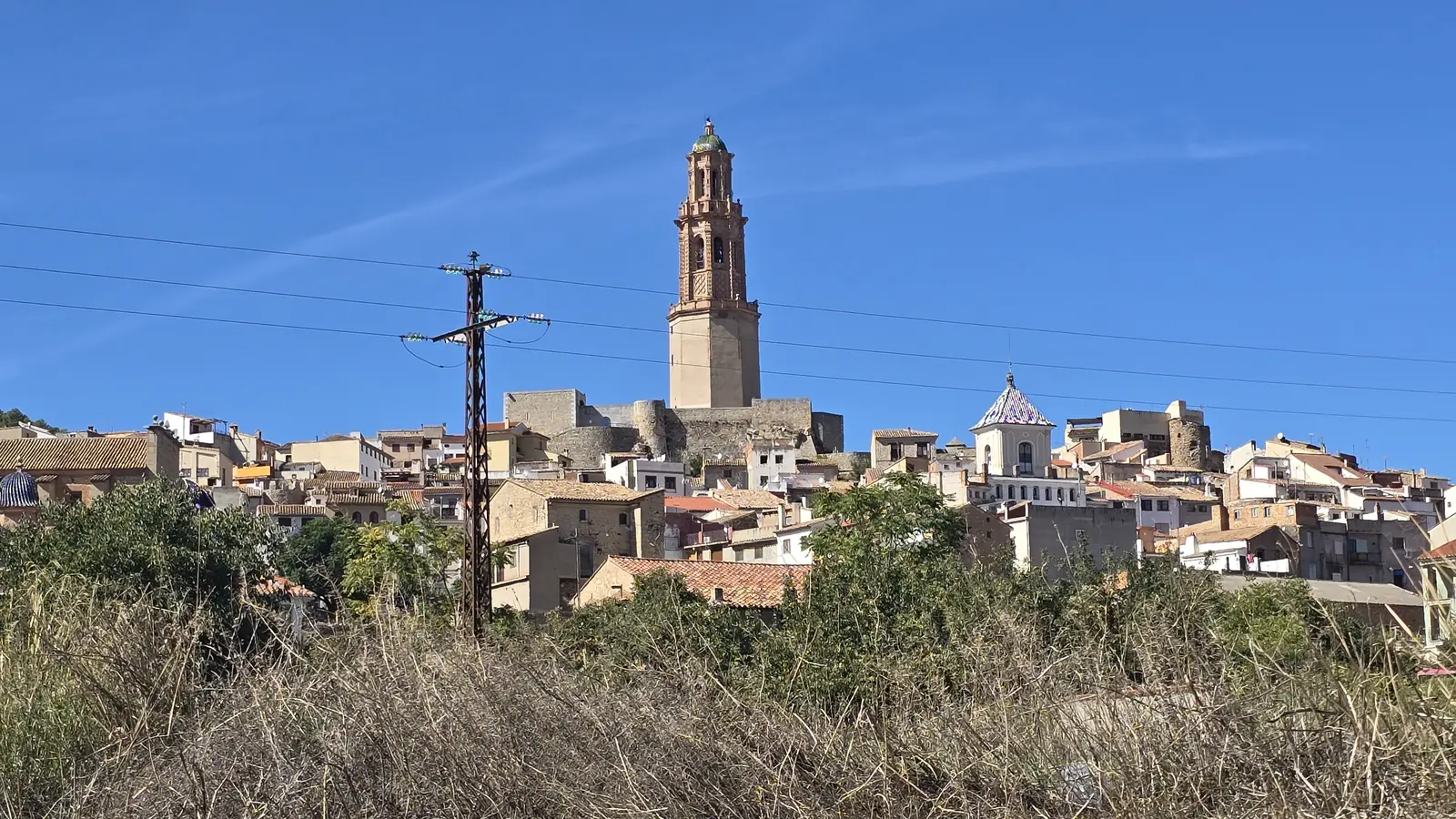
A hilltop town in the Alto Palancia, crowned by a brick Mudéjar bell tower finished in 1622 on a 12th-century base, with castle walls above the Palancia river. About an hour from Valencia on the A-23.
A castle town on the Palancia, an hour inland
Jérica sits in the Alto Palancia, the inland valley of Castellón province that the A-23 follows from Sagunto towards Teruel. The town of 1,764 residents climbs a crag above the Palancia river, and the first thing you see from the road is its bell tower standing above the castle walls.
It is a quiet, compact place, which is the point. You can walk the old town, the castle and the river in a day without rushing, and the Vía Verde de Ojos Negros, the old mining railway turned greenway, passes right by if you want to add a bike ride.
A suggested day in Jérica
This is our suggestion for one unhurried day, not an official programme. Adjust the times to the season: in summer, do the climbing in the morning and keep the river for the afternoon.
09:00
Leave Valencia
Take the A-23 towards Teruel. From the Valencia side, the ayuntamiento's recommended exit is 37, Jérica Sur.
10:15
The tower and the castle walls
Walk up through the old streets to the Torre de la Alcudia, then along the castle ridge for the view over the valley.
12:30
Old town and museum
Come back down through the historic centre, where information panels mark the main buildings, and check whether the municipal museum is open.
14:00
Lunch
Eat in town and look for the local pastry in a bakery before you leave.
16:00
Down to the river
Spend the afternoon by the Palancia: the shaded Paseo de las Fuentes and the walk around the Vuelta de la Hoz bend.
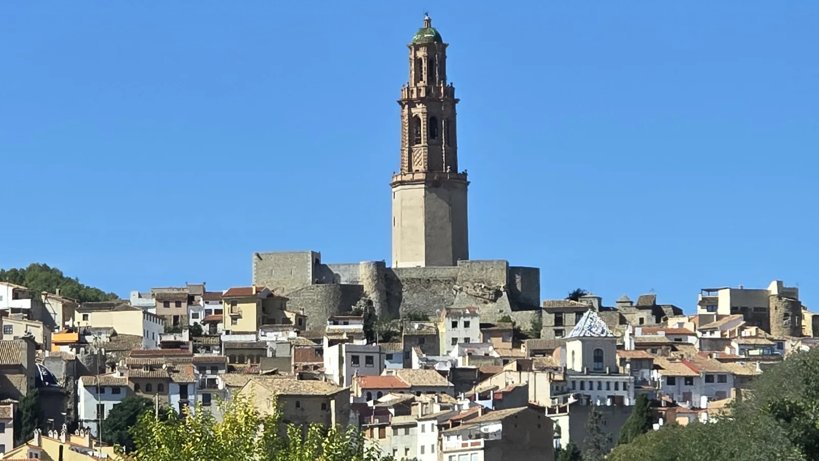
Photo: Michael Bastin, ValenciaMove
What to see in Jérica
The Torre de la Alcudia
The lower octagonal body is a defensive tower probably built in the 12th century, with walls about three metres thick. In 1616 the town contracted a brick Mudéjar bell tower on top of it, finished in December 1622 and paid for by the residents. A bell-ringer's family lived inside until the 1970s. It is a Bien de Interés Cultural.
The castle and the old walls
The castle remains crown the crag above the river, with the hermitage of San Roque (Santa Águeda la Vieja), stretches of the walls and the Torreta and Torre de la Muela towers. The cliffs below were carved by the Palancia.
The Vuelta de la Hoz
A tight bend of the Palancia that has cut into the mountain wall. There are paths for a walk, picnic areas, and climbing routes on the rock for those who bring the gear.
Paseo de las Fuentes
A riverside garden laid out in the 1970s on the left bank of the Palancia: about 6,000 square metres and roughly 100 plant species, mostly deciduous trees, so it is shaded in summer and sunny in winter.
Vía Verde de Ojos Negros
The regional tourism board lists it as the longest greenway in Spain, at 167.5 km, built on the old Sierra Menera mining railway. Its Valencian section runs from Barracas down the Palancia valley to Sagunto, through Jérica, Navajas and Segorbe.
The Regajo reservoir
Built in 1959 by the Confederación Hidrográfica del Júcar to irrigate the Sagunto huerta, beside the road to Gaibiel. The town does not manage it: fishing and camping go through the Generalitat.
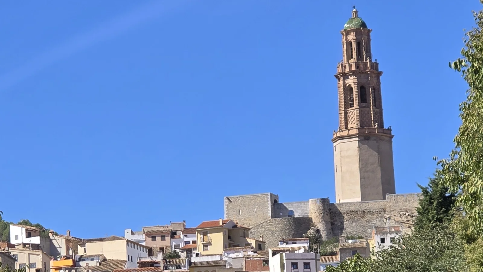
Photo: Michael Bastin, ValenciaMove
Getting to Jérica and what to know
By car it is about 70 km (about 43 mi) and an hour from Valencia, all on the A-23 with no tolls. The ayuntamiento's access page gives two exits: 37, Jérica Sur, coming from Sagunto, and 42, Jérica-Caudiel, coming from Teruel. Without a car, Cercanías line C-5 from València Nord stops at Jérica-Viver station, and long-distance buses on the Valencia to Teruel and Valencia to Montanejos routes stop at the N-234 bridge. Check the current timetables before you go, because services this far up the line are limited.
Most of the old town is steep and cobbled, so wear proper shoes for the climb to the tower. Spring and autumn are the best seasons for walking; in summer, head for the shaded river paths after lunch. Before you leave, try the local pastry, the pastel jericano (), which the regional tourism board singles out as the town's speciality.
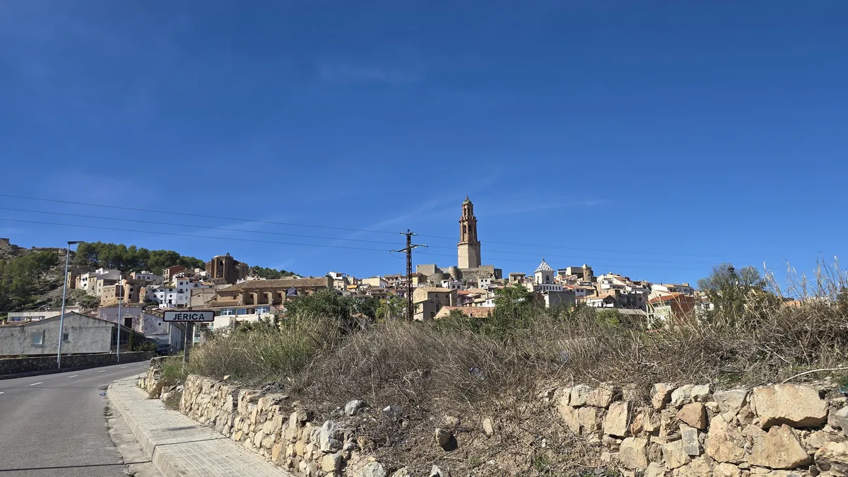
Photo: Michael Bastin, ValenciaMove
Official sources
- Ajuntament de Jérica: history of the Torre Mudéjar (Spanish)
- Ajuntament de Jérica: road access (Spanish)
- Ajuntament de Jérica: bus services (Spanish)
- Ajuntament de Jérica: Paseo de las Fuentes (Spanish)
- Ajuntament de Jérica: Regajo reservoir (Spanish)
- Comunitat Valenciana tourism board: Jérica
- Comunitat Valenciana tourism board: Vía Verde de Ojos Negros
- Renfe: Cercanías Valencia line map
- INE: population by municipality, Castellón
Jérica day trip FAQ
How far is Jérica from Valencia?
Can you get to Jérica from Valencia by train?
How old is the Mudéjar tower in Jérica?
Can you cycle the Vía Verde de Ojos Negros from Jérica?
Is Jérica worth combining with other towns?
Thinking about life away from the coast?
Inland towns like Jérica are a very different side of the Valencia region from the city and its beaches. If you are weighing up where to live, we can help you compare the options.
Book a Consultation
Resident in Valencia since 2016. Founder of BeTranslated. 25+ years in translation, interpretation and multilingual SEO.
Reviewed 10 October 2026 by Michael Bastin